


State of South Carolina - Uncut Obsolete Sheet - Broken Bank Notes
Inv# OH1089 Paper Money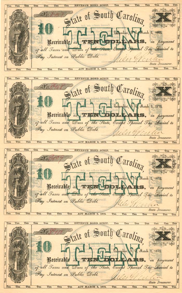
$10/10/10/10 Uncut Obsolete Sheet. Columbia, South Carolina.
Columbia is the capital and second-largest city of the U.S. state of South Carolina, with a population estimate of 131,674 as of 2019. The city serves as the county seat of Richland County, and a portion of the city extends into neighboring Lexington County. It is the center of the Columbia metropolitan statistical area, which had a population of 767,598 as of the 2010 United States Census, growing to 832,666 by July 1, 2018, according to 2018 U.S. Census estimates. This makes it the 70th-largest metropolitan statistical area in the nation, as estimated by the United States Census Bureau as of July 1, 2018. The name Columbia is a poetic term used for the United States, derived from the name of Christopher Columbus, who explored for the Spanish Crown.
The city is located about 13 miles (21 km) northwest of the geographic center of South Carolina, and is the primary city of the Midlands region of the state. It lies at the confluence of the Saluda River and the Broad River, which merge at Columbia to form the Congaree River. As the state capital, Columbia is the site of the South Carolina State House, the center of government for the state. In 1860, the South Carolina Secession Convention took place here; delegates voted for secession, making this the first state to leave the Union in the events leading up to the Civil War. The first six states to secede were those whose planters held the most enslaved African Americans; these were slave societies.
Columbia is home to the University of South Carolina, the state's flagship university and the largest in the state. The area has benefited from Congressional support for Southern military installations. Columbia is the site of Fort Jackson, the largest United States Army installation for Basic Combat Training. Twenty miles to the east of the city is McEntire Joint National Guard Base, which is operated by the U.S. Air Force and is used as a training base for the 169th Fighter Wing of the South Carolina Air National Guard.
In May 1540, a Spanish expedition led by Hernando de Soto traversed what is now Columbia while moving northward on exploration of the interior of the Southeast. The expedition produced the earliest written historical records of this area, which was part of the regional Cofitachequi chiefdom of the Mississippian culture.
In the colonial era, English and other colonists encountered the Congaree in this area. They occupied villages along the Congaree River. The English colonists of South Carolina established a frontier fort and fur trading post named after the Congaree, on the west bank of the Congaree River. It was at the fall line and the head of navigation in the Santee River system.
In 1754 the colonial government established a ferry to connect the fort with the growing Anglo-European settlements on the higher ground on the east bank.
Like many other significant early settlements in colonial America, Columbia is on the fall line of the Piedmont region. The fall line is often marked by rapids at the places where the river cuts sharply down to lower levels in the Tidewater or Low Country of the coastal plain. Beyond the fall line, the river is unnavigable for boats sailing upstream. Entrepreneurs and later industrialists established mills in such areas, as the water flowing downriver, often over falls, provided power to run equipment.


Ebay ID: labarre_galleries