


Salmo-Malartic Mines, Limited - Mining Stock Certificate
Inv# FS2234 Stock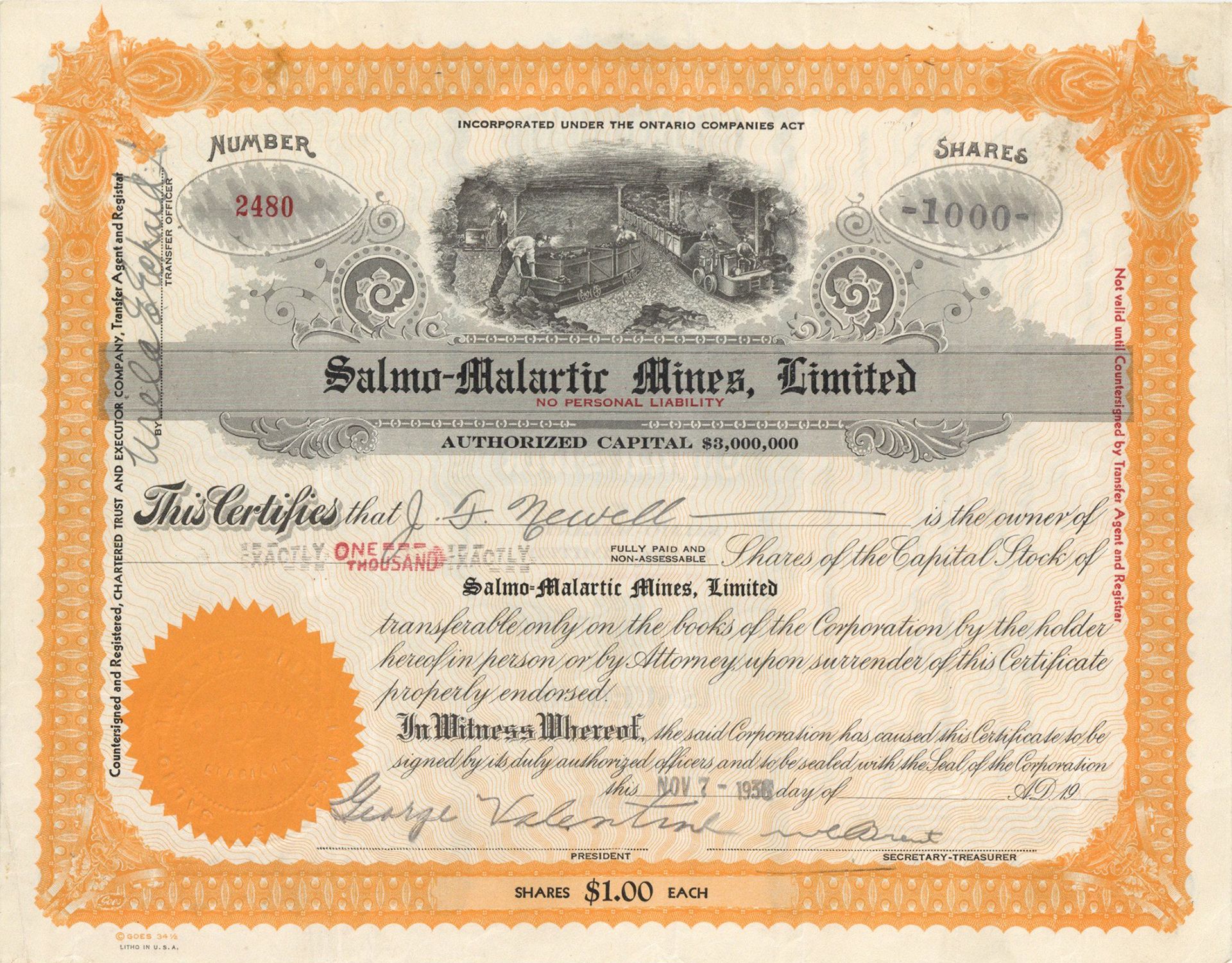
Stock printed by Goes.
Salmo is in the West Kootenay region of southeastern British Columbia. The village municipality is mostly on the north side of Erie Creek at the confluence with the Salmo River. The place lies largely east of the junction of BC Highway 3 (about 42 kilometres (26 mi) southeast of Castlegar), and BC Highway 6 (about 41 kilometres (25 mi) south of Nelson, and 25 kilometres (16 mi) north of the US border).
Originally, the name was either Laprairie or Salmon City, derived from the initial name of the river that dated from around 1860. Prior to the downstream damming of the Columbia River from the 1930s, salmon frequented this tributary. In 1893, the settlement name became Salmon or Salmon Siding. At that time, Erie Creek was called the North Fork of the river. In 1896, the community name changed to Salmo, and the river soon followed suit. It is unclear whether the town or postal authorities sought a less common name, which happens to be Latin for salmon, and also the scientific name for the family of fish to which salmon and trout belong.
When the Nelson and Fort Sheppard Railway (N&FS) was opened in 1893, this was one of the original stations. During the railway construction, Foley, Welch and Stewart was a prime contractor, and Pete Larson was a subcontractor. The Larson headquarters likely became the foundation for the settlement. The construction camp was the scene of a cook's murder following a gambling dispute. During a sale of townsite lots in 1896, 130 sold in 10 days. By 1899, two general stores and four hotels existed. The Kootenay Shingle Mill operated 1901–1928.
Increased mining in the area triggered the initial growth of the community. Much of this activity was along the east-west Sheep Creek, which flows into the Salmo River about 6 kilometres (3.7 mi) to the south. Gold ore from the Yellowstone mine was wagoned to Salmo for loading onto the N&FS 1900–1902. The mini galena boom of 1908 saw 200 properties staked or re-staked. Notable ones were the HB about 7 kilometres (4.3 mi) southeast of Salmo, and the Emerald, a few miles farther south. The latter wagoned 1,100 tons to Salmo in 1909, which subsequently refined to 382 tons of lead and almost 1,700 ounces of silver. Gold mining along Sheep Creek diminished from the early years of World War I, by which time base metal mining was well established. In the later 1920s, Salmo Consolidated Mines and C.R. Blackburn acquired expired claims, and rising lead and zinc prices triggered increasing activity.
Tungsten and molybdenum sustained the Emerald during the 1930s, despite falling base metal prices. Acquired by the federally owned Wartime Metals Corporation in 1942, a new mill and substation were constructed, but only operated for six weeks before being shut down. Canex restarted production in 1947, expanded to zinc and lead in 1949, and added neighbouring mines and increased capacity in 1951. A small settlement of 150 dwellings, called Jersey after the adjacent mine, sprang up. Operations continued until 1971, and the settlement buildings were auctioned in 1973.
In 1946, the HB resumed exploration. Ore was trucked to Trail. Completed in 1953, and expanded in 1958, the mill produced concentrate for trucking to Trail. Employees lived in camp or commuted from Salmo. Operations shut down in 1966.
Malartic is a town on the Malartic River in northwestern Quebec, Canada, in the La Vallée-de-l'Or Regional County Municipality. It is located about 80 kilometres (50 mi) east of the centre of Rouyn-Noranda along Quebec Route 117 and the Canadian National Railway.
In addition to the main settlement of Malartic, the municipality also includes the smaller settlement of Norrie.
At the time when the Abitibi region was being surveyed and organized in 1907, the name Malartic was chosen for the geographic township and lake, following the pattern of assigning names of regiments and officers of General Montcalm's army. It was named after Anne Joseph Hippolyte de Maurès, Comte de Malartic, aide de camp to Montcalm.
The discovery of major gold deposits in 1923 led to a gold rush in the Abitibi region, attracting settlers (exclusively men during the first six years) to the area in 1928. In 1935, the Canadian Malartic Gold Mines began operation, employing people from all over the province, Canada, and several east European countries. Together with Eastern Malartic and Malartic Goldfields that began operating in 1937 and 1939 respectively, these three became Quebec's largest gold mines. But newly arriving workers were not permitted to settle near the mines and would build a squatter camp on Crown land about 4 km (2½ miles) north of Malartic, that became the community of Roc d'Or. The two settlements grew concurrently, duplicating services. But the parishes (Saint-Martin-de-Tours in 1928), railway station, and post office (1936) were established near the mines in Malartic.
In 1939, the Town of Malartic was incorporated under the auspices of the Quebec Ministry of Mines, in an attempt to halt the proliferation of squatter camps in the Abitibi region. In 1943, the entire community of Roc d'Or was ordered to move to Malartic by the provincial government and the settlement was demolished. Despite a mining accident in April 1947 that killed 12 miners in an underground fire, Malartic was thriving throughout the 1950s, reaching a peak of nearly 7000 residents.
But in 1965, Canadian Malartic and Malartic Goldfields closed their mines, followed by the Barnat and East Malartic mines in the 1980s. This led to rapid decline in the economy and population.
In 2008 and 2009, renewed exploration by Osisko Mining revealed an untapped new gold deposit, estimated at approximately 9 million ounces, beneath the town. The company received approval from the government of Quebec to launch what would become Canada's largest ever open pit gold mine. The project, which will have an estimated cost of $1 billion if approved, would see most of the portion of the town lying south of Route 117, consisting of about 200 houses and several of the town's public facilities, relocated to a new housing development in the north end of town. This move was featured in season 4 of the television show Monster Moves. As of late 2009, most of the relocation work had been completed, and this, before the end of public consultations by Quebec's Ministry of Sustainable Development, Environment and Parks.
A stock certificate is issued by businesses, usually companies. A stock is part of the permanent finance of a business. Normally, they are never repaid, and the investor can recover his/her money only by selling to another investor. Most stocks, or also called shares, earn dividends, at the business's discretion, depending on how well it has traded. A stockholder or shareholder is a part-owner of the business that issued the stock certificates.


Ebay ID: labarre_galleries